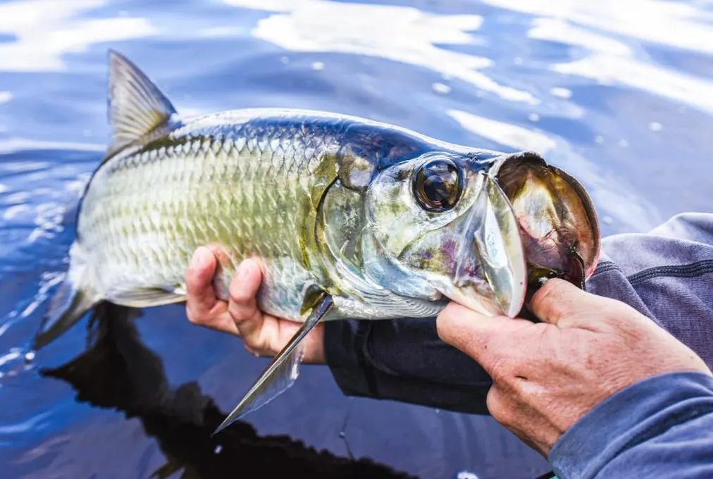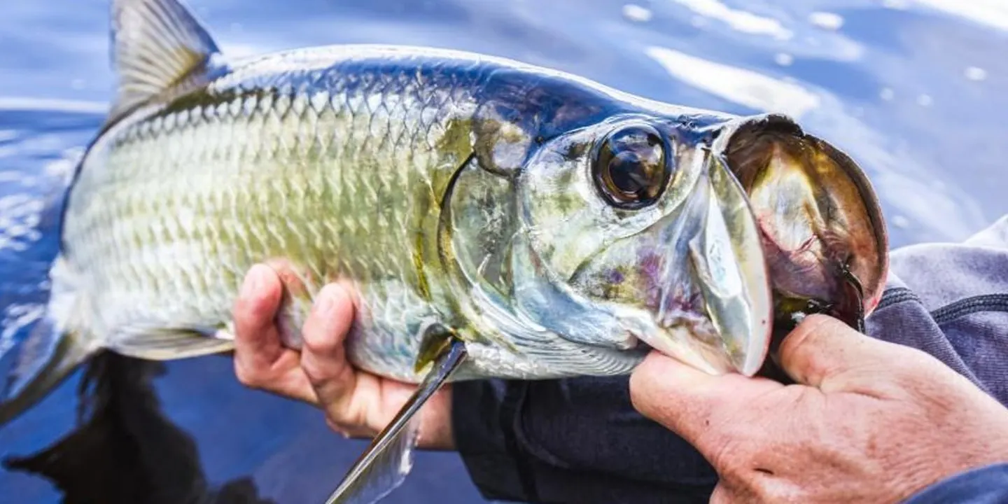

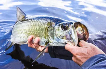
 TarponHomosassa · mid-Apr to Jul
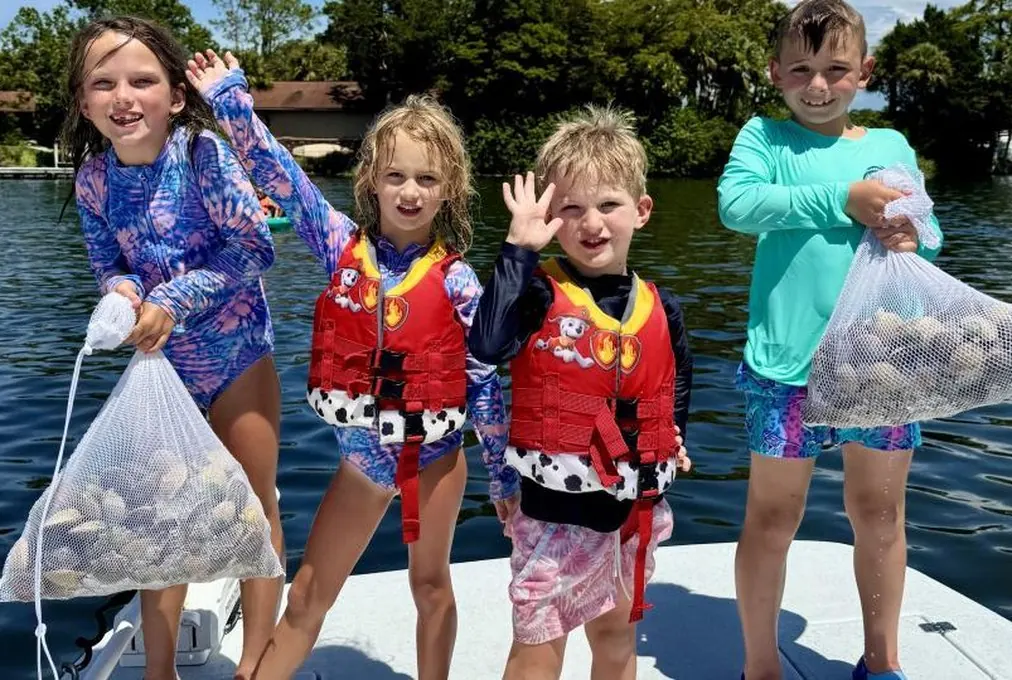
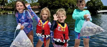 ScallopsJul to Sep
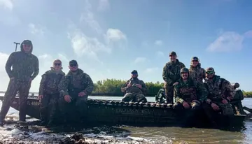 Ducksmid-Nov to Jan
 By Capt. Tanner Martin
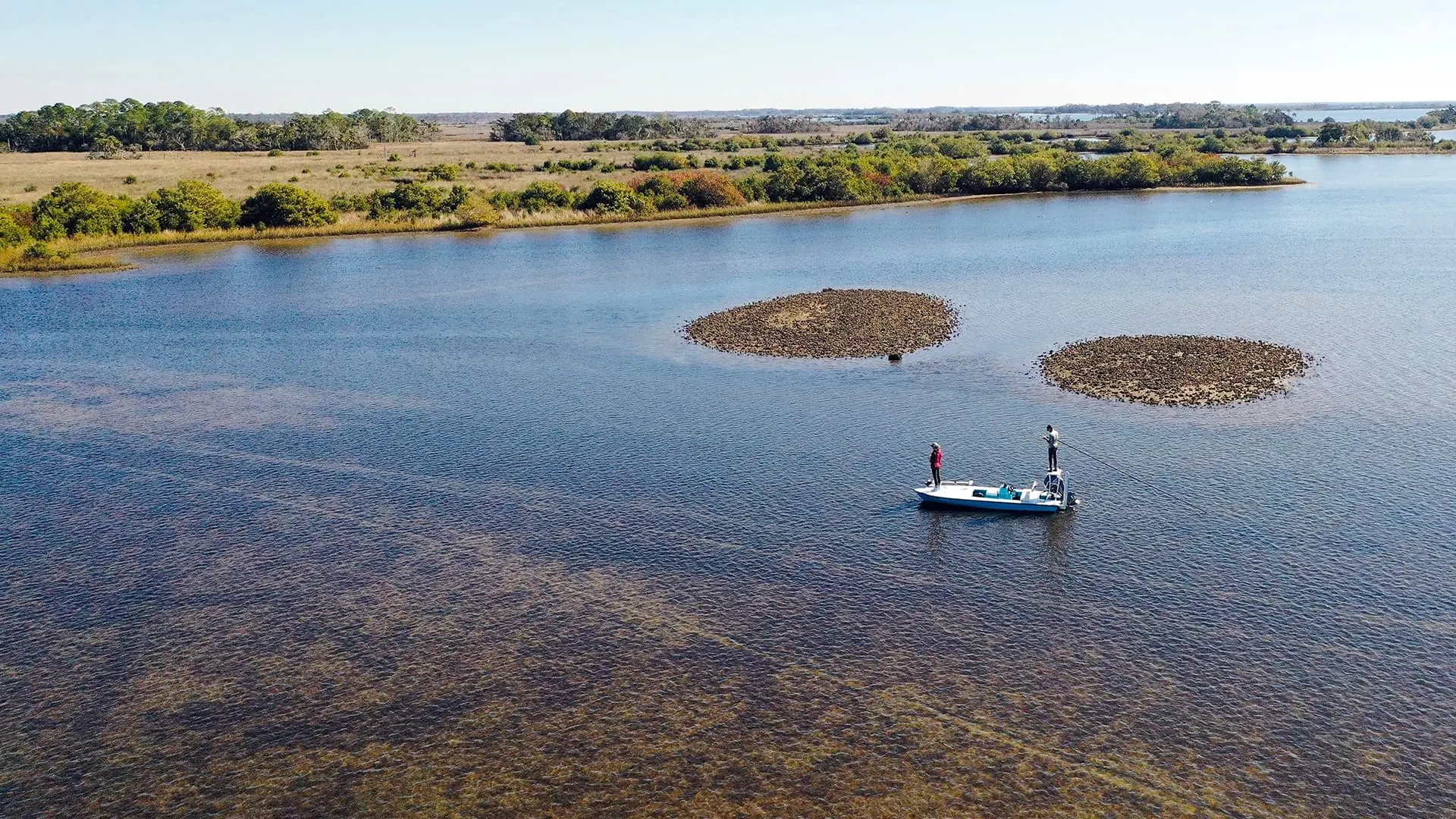
People ask for Crystal River fishing spots and expect a list of coordinates. What they actually need is to understand how the coast is put together, because the fish here move with the tide and the season between a handful of very different kinds of water. A redfish that is tailing on a grass flat in October is in a mud creek in January. This page is the map in words. Every trip we run is built on it.
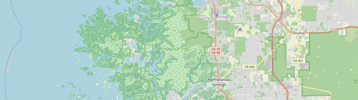
Crystal River and Kings Bay
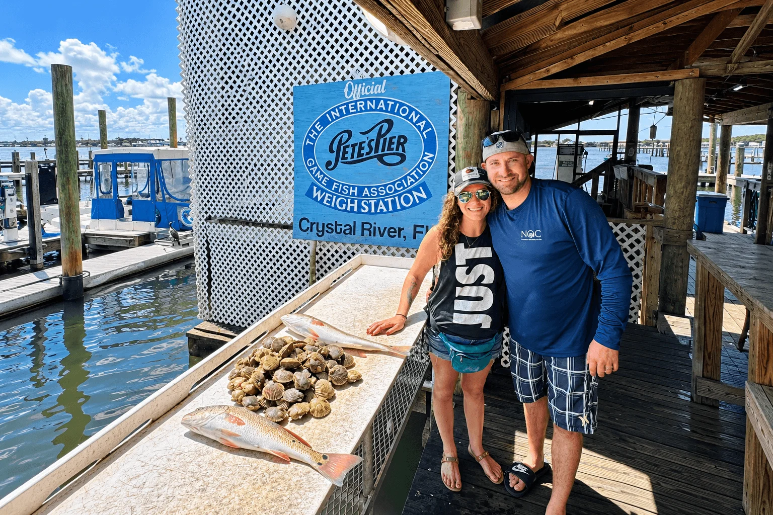
Crystal River starts at Kings Bay, a spring-fed bay in the middle of town that stays 72 degrees all year and fills with manatees every winter. The river runs about seven miles west to the Gulf past Shell Island and Fort Island Gulf Beach. The lower river and the bars at the mouth hold redfish and trout most of the year, snook in the warm months, and sheepshead and black drum on the rock in winter. It is where a four-hour inshore trip out of Pete’s Pier spends its first hour, and it is the water we fall back to when the wind is up on the outside.
The St. Martins Keys and the outside flats
West of the river mouth the coast opens into the St. Martins Marsh Aquatic Preserve: a mile-wide band of mangrove keys, oyster bars and shallow grass in four to eight feet of clear water. This is the most productive water on the coast. The grass flats hold the scallops in July through September, the big trout stage on the edges in fall and spring, and schools of redfish work the bars on the bigger tides. Farther out, in 10 to 20 feet, the hard bottom and rock piles hold cobia and Spanish mackerel in spring and gag grouper shallow enough to reach on a long inshore day.
Ozello
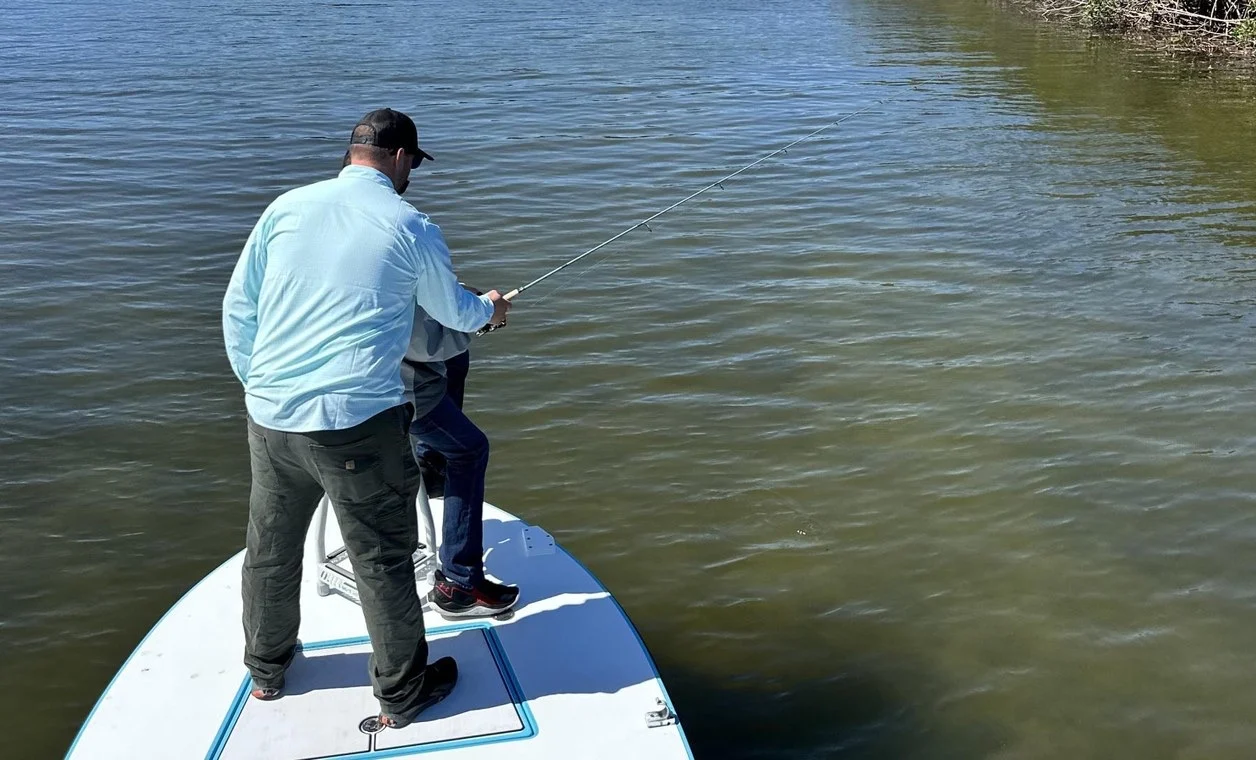
Between Crystal River and Homosassa the coast dissolves into the Ozello Keys, a maze of islands, creeks and ponds you cannot navigate without having grown up in it. The water is shallow, the bottom is a mix of mud, oyster and grass, and the fish are not pressured because most boats cannot get there. This is the fly and light tackle trip water: poling the Hells Bay along a mangrove edge for tailing redfish, snook in the creek mouths, juvenile tarpon in the ponds in summer and fall. On the lowest winter tides it is also the mud boat trip, when the Prodigy surface drive gets into the creeks and ponds behind the islands that even the skiff cannot reach.
Homosassa
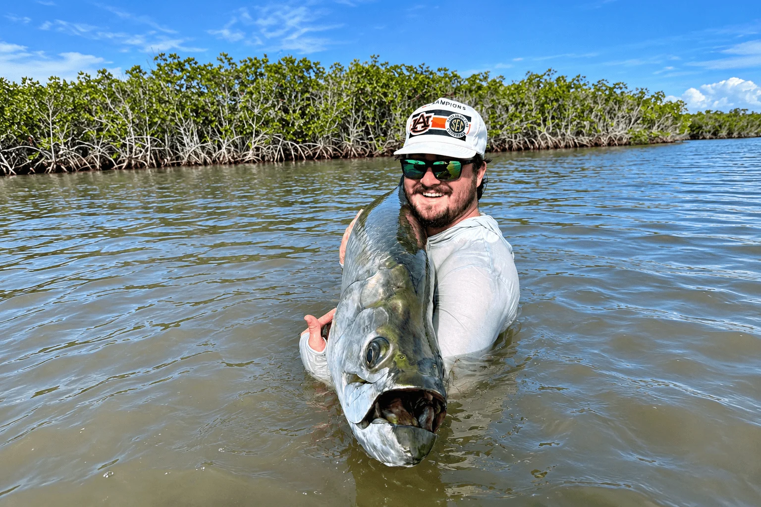
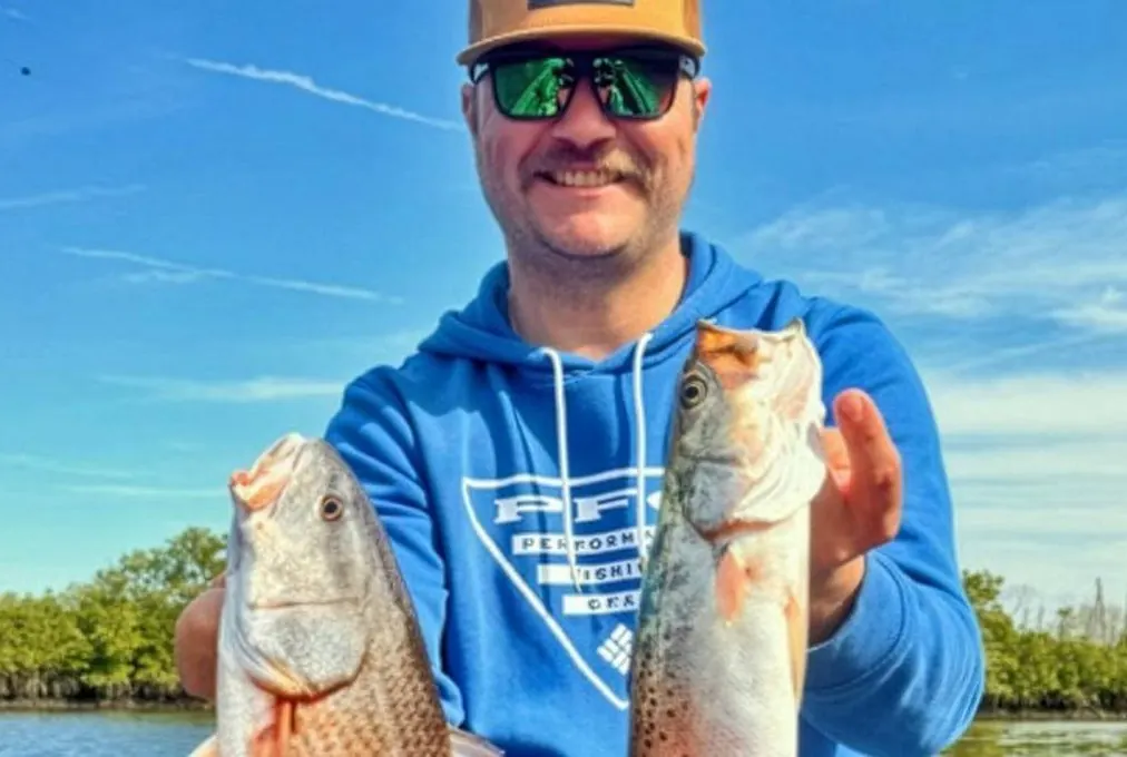
The Homosassa River is the twin of Crystal River: spring-fed, about eight miles from the springs to the Gulf, and lined with old fish camps on the way out. The mouth opens onto the wide, hard-bottom flats that made the town famous. From mid-April through July the tarpon migration comes up onto those flats in five to eight feet of clear water, and the Homosassa tarpon trip is staked out on the lanes the fish follow. The rest of the year the same flats and the bars at the river mouth fish like Crystal River: redfish, trout, snook, and scallops in summer. We launch tarpon trips at MacRae’s at the mouth of the river.
The Chassahowitzka
South of Homosassa the Chassahowitzka River and the National Wildlife Refuge around it are the wildest piece of the coast: salt marsh, tidal creeks and shallow bays with no houses and almost no traffic. In winter the marsh fills with redheads, bluebills and teal, and it is where the duck hunts go from November to January. The creeks hold redfish and black drum on the cold low tides and juvenile tarpon in summer.
How the season picks the water
A rough calendar
- December to February
- Mud creeks and Ozello backwater on low tides for reds and drum. Chassahowitzka marsh for ducks. Sheepshead on the river rock.
- March to April
- Trout on the outside flats, cobia on the rock, snook moving back out of the rivers. First tarpon in mid-April.
- May to June
- Tarpon on the Homosassa flats. Reds and trout early before the heat.
- July to September
- Scallops on the St. Martins grass. Reds and trout at first light, juvenile tarpon in the Ozello ponds.
- October to November
- The best month for everything inshore. Redfish schooling, big trout, snook on the mangroves. The fishing reports have the detail.
Fish this water with Capt. Tanner
Every trip is private and runs on the water that is fishing best that week. Pick a date and we handle the rest.
Why no spots
Tanner has fished this coast for his whole life and guided it full time since 2018. The spots change with the tide, the wind, the season and the week, and a list of coordinates would be wrong the day after it was posted. What stays the same is the knowledge of which kind of water fishes when. That is what you are booking.
Tight lines,
Capt. Tanner Martin
Fish this guide
The trips that cover this water
 Inshore CharterReds, trout and snook. 4 or 7 hours, up to 4 anglers.From $600 • See trip ›
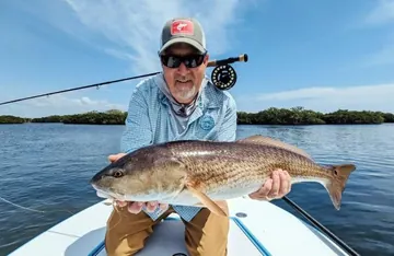 Backcountry Fly & Light TackleSight-cast the flats from the Hells Bay. 1 or 2 anglers.From $600 • See trip ›